Chalkere Lake Report
Authored by Shreyas Sati and Alana Helin as part of the BIOME Trust Wetlands & Lakes Project
Summary
Challakere (Chalkere) Lake is on 38 acres and is located in the northeast part of Bangalore near Hennur Police Station. Chalkere is part of the Yellamallappa Chetty lake series within Hebbal Valley, overflowing into the downstream Ramapura Lake and eventually Yellamallappa Chetty Lake. During our visit on 4 August 2017, we observed that it is frequented by a few local residents who enjoy the provided walking path. There is no STP within the lake premises. However, there exists a wetland at the NE corner of the lake. Wastewater flows through two inlets into this wetland from the NE direction which then enters into the lake through a culvert. In total, there are two inlet points into the wetland area, one inlet into the main lake, and two outlets from the lake.


Chalkere Lake, also spelled Chele Kere per Google Maps, is located in Babusabpalya, Kalyan Nagar, Bangalore.

Lake Area
|
16 acres
|
STP
|
No STP exists; However, there is a wetland to treat the wastewater.
|
Some news articles have reported that there existed a bund in the SE side of the lake where an inflow of wastewater also existed and the bund was washed away by the inflow2. We noticed that the inflow had been closed by cementing the culvert thus diverting the entire wastewater flow to east and north directions (From MyMap - POI: Blocked Inlet). There are two inlet points into the wetland, one wetland overflow into the lake, and two outlets from the lake.
We also observed that there was no buildup of algae on the surface of water.
In the mornings and evenings, few local residents use the 1.2 km path around the lake for walking, jogging, or other workouts. Along the walking path near one of the gates, we observed that an idol and pictures of gods were placed for worship.
The Lake
During our visit we observed two inlets into the wetland and one wetland overflow from which water enters Chalkere Lake. These inlets are summarized below.
Inlet
|
Name
|
Description
|
Photos
| |
1
|
Mixed Drainage
|
Discharges into the wetland from NE direction. We were not able to observe the culvert.
|  | |
2
|
Mixed Drainage
|
Discharges into the wetland from NE direction through a culvert.
| 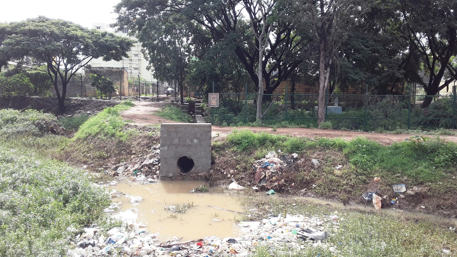 | |
3
|
Wetland Outflow
|
Flows into the lake from the wetland through a culvert. The culvert passes under a raised walking path which separates the wetlands from the main lake.
| 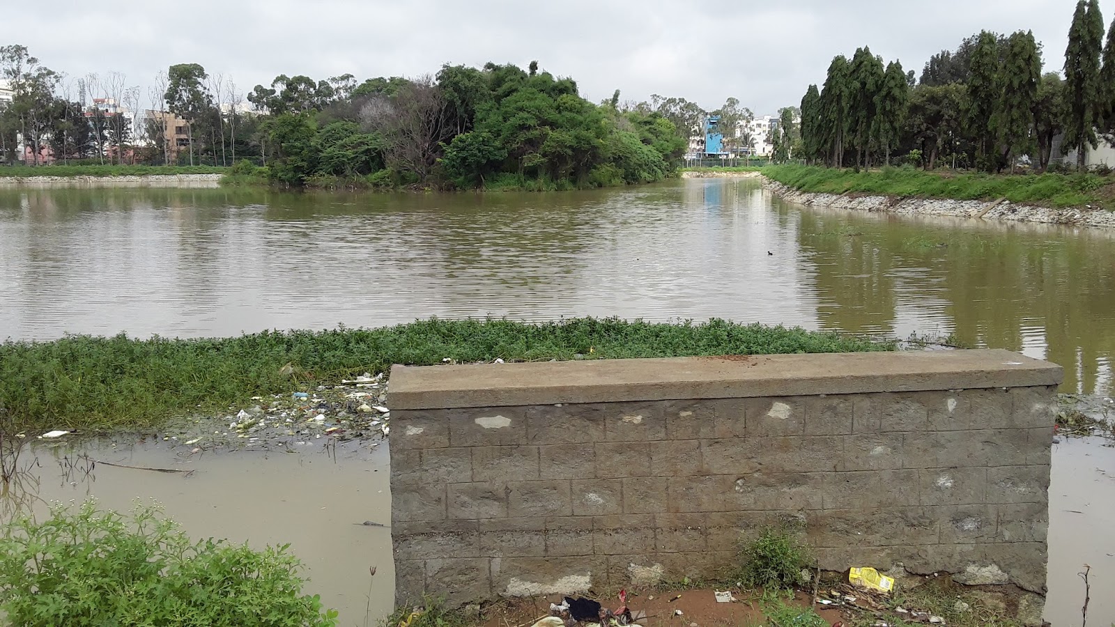 | |
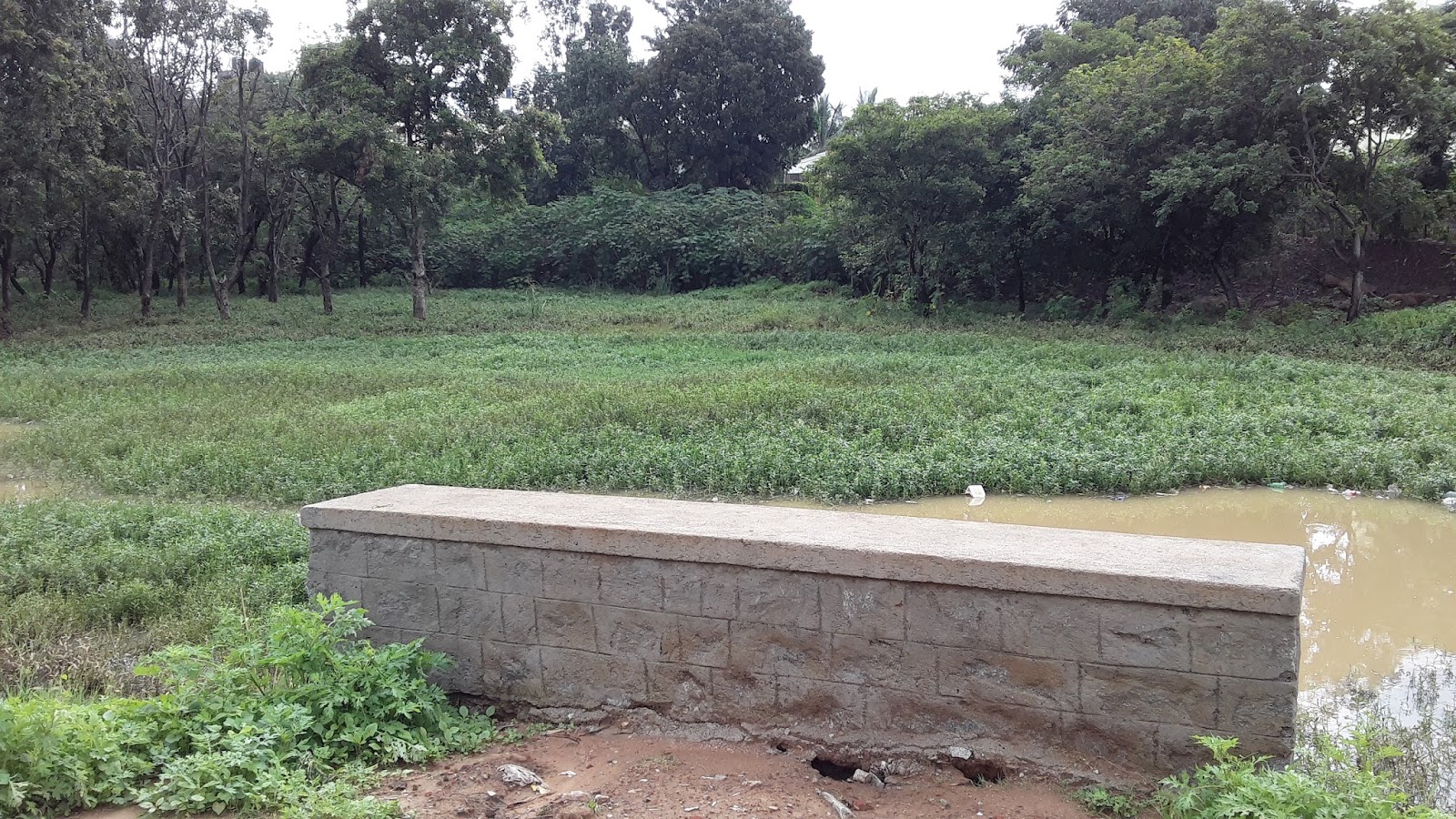
There are two overflow outlets from the lake which are in the NW and SE corners of the lake. Both of the outlets are under a bridge as shown in the figures below.


Outlet 1 Overflow from Chalkere. Left: facing east to the lake; Right: Outlet channel to naala (facing west).
Outlet 2 Overflow from SW corner of Chalkere (facing south)
The STP
There is no STP at Chalkere Lake. However, the wetland performs the function of an STP to a certain extent.
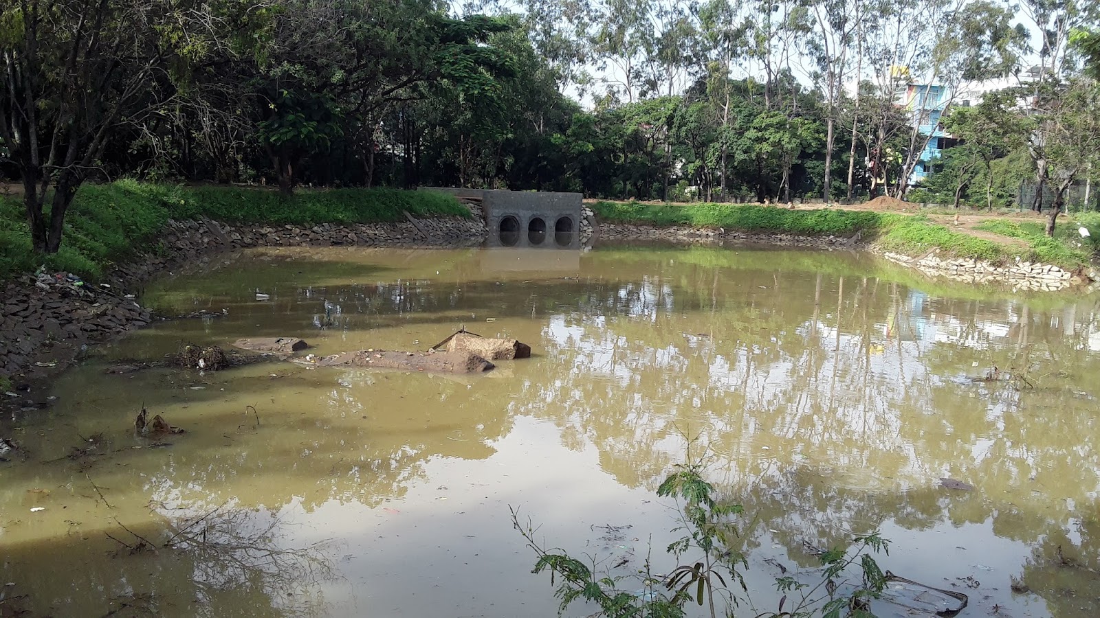
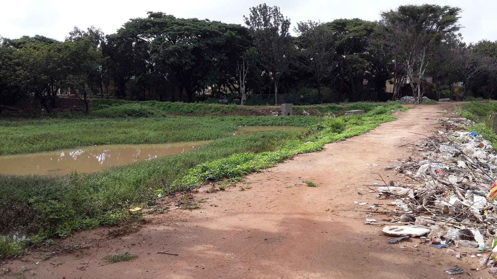
The Wetland
There is a wetland area of approximately 0.7 acres at Chalkere located in the northeast corner of the lake, making up about 4.5% of the total lake area. The wetland is separated from the main water body by a built-up walking path, under which a culvert carries water from the wetland to the lake.
NE wetland pictured above (facing northeast)
NE wetland located to the left of the raised walking path, under which the culvert passes and discharges into the lake on the right (facing south)
Contact Info
BBMP : cebbmplakes@gmail.com
References
No comments:
Post a Comment