Authored by Shreyas Sati and Alana Helin as part of the BIOME Trust Wetlands & Lakes Project
Summary
Rachenahalli Lake is on approximately 104
acres and is located in the north of Bangalore near the Embassy Manyata
Business Park. The lake lies within the Yellamallappa Chetty Lake series within
the Hebbal Valley. It is frequented by local residents who enjoy the provided
walking path and park. During our visit on 7 November 2017, we observed that no
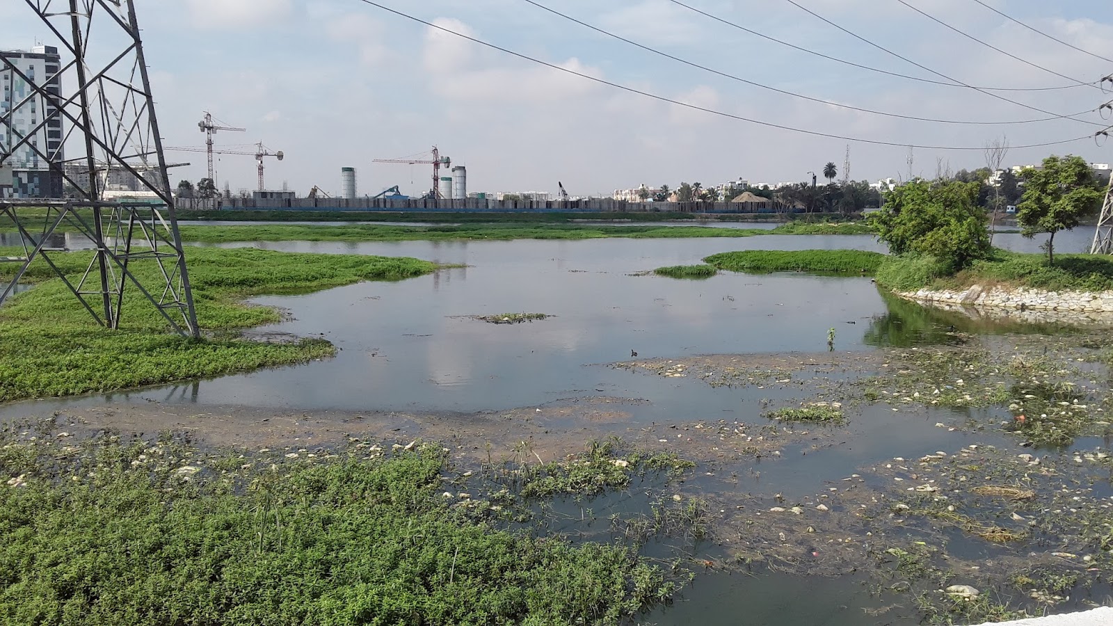
STP exists in this lake; however, a well-demarcated area of wetland exists to
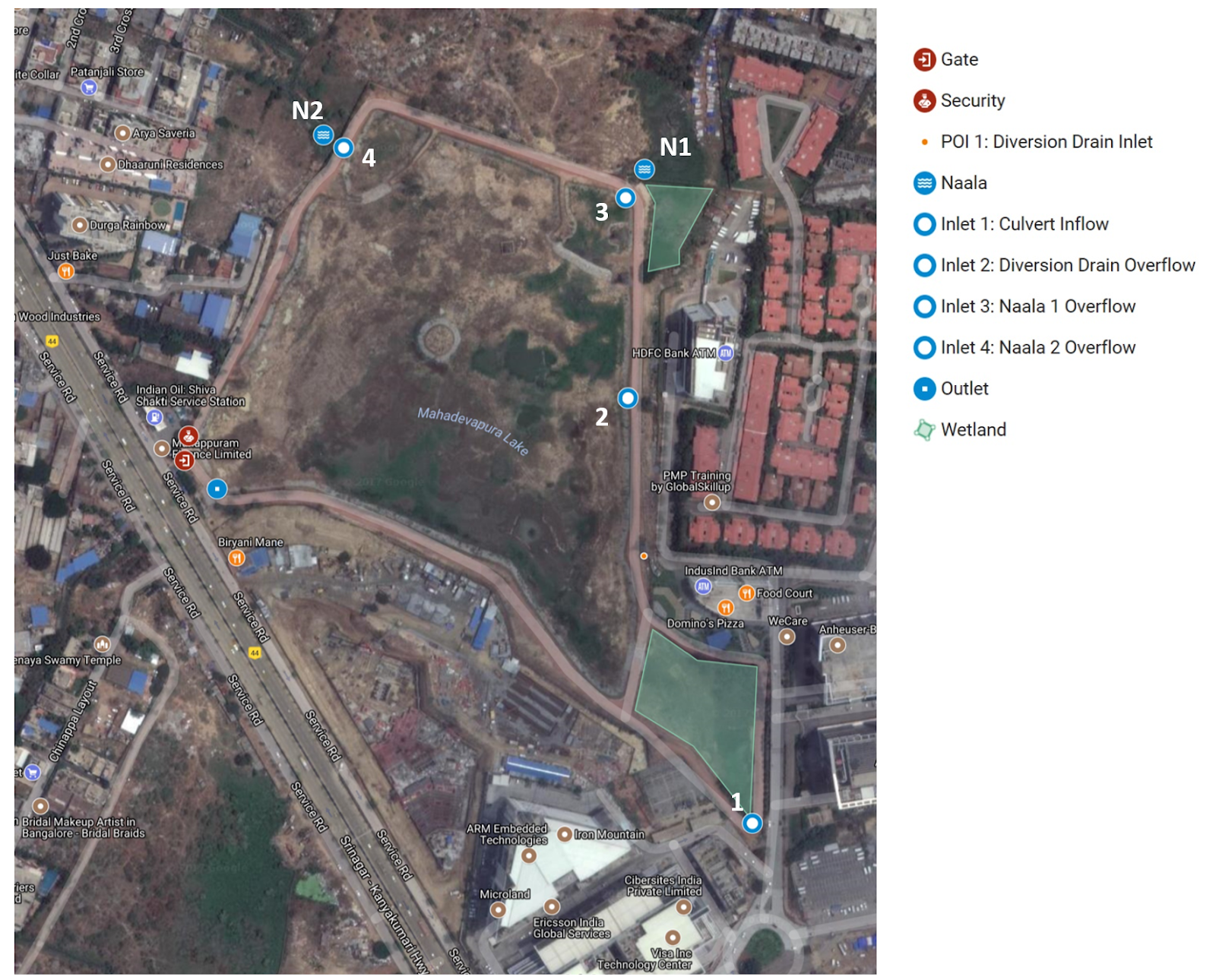
the north of the lake. There are seven inlets - one into the wetland area, four
from the wetland area into the main lake, and the other two directly into the
main lake through naala overflow structures - and two outlets from the lake.
The inlets carry a mixture of storm and sewage water. The volume of inflow
through the inlets could not be determined.

Map 1

Overview and Observations
Rachenahalli Lake is located in Thanisandra, Bangalore.

Lake Area
|
104 acres
|
STP &
Wetlands
|
No STP exists in
the lake premises, however a 2.5 acre natural wetland exists to the northern
side of the lake.
|
In 2016, Rachenahalli Lake was transferred
from BDA to BBMP jurisdiction. Both prior to and after this change, the
community group Jalamitra (founded in August 2015) has been active in the
rejuvenation efforts.
It was observed that there is one inlet into the wetland and six inlets into the lake. From the wetland, there are four overflow inlets into the lake. The other two inlets are both naala overflows which will carry a mix of stormwater and sewage into the lake during flood events.
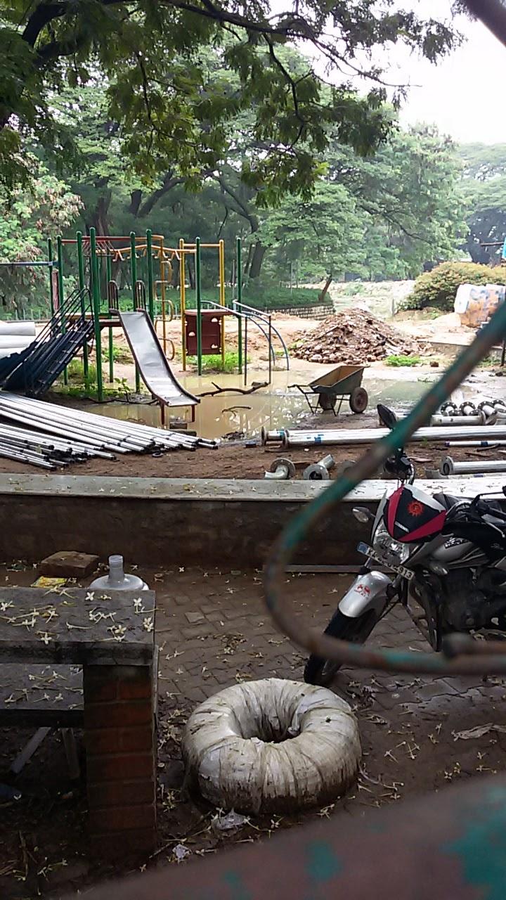
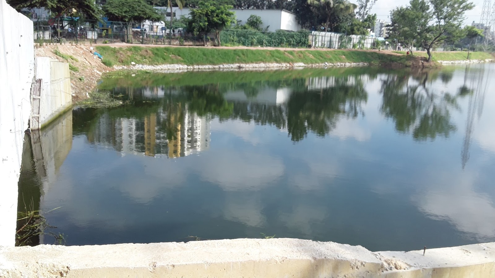
In the mornings and evenings, local residents
use the path around the western, northern, and eastern edges of the lake for
walking, jogging, or other workouts while also visiting the park along the
western side of the lake. The park was under construction at the time of our
visit and includes the following amenities: a gazebo, toilets, an office, a
yoga platform, and a kalyani, as well as several benches.
The Lake
One wetland inlet and six inlets where water
would directly enter Rachenahalli Lake were identified and are summarized
below.
Wetland Inlet
|
Name
|
Description
|
Photos
|
1
|
Wetland Inlet
|
Overflow of storm
and sewage water from Naala 1 enters into the wetland area in the north of
the lake.
|
 |
Lake Inlet
|
Name
|
Description
|
Photos
|
1
|
Wetland Overflow
1
|
After entering
the wetland, any remaining flood water overflows across the bund and enters
the lake.
|   |
2
|
Wetland Overflow
2
|
After entering
the wetland, any remaining flood water overflows across the bund and enters
the lake.
|
|
3
|
Wetland Overflow
3
|
After entering
the wetland, any remaining flood water overflows across the bund and enters
the lake.
|
|
4
|
Wetland Overflow
4
|
After entering
the wetland, any remaining flood water overflows across the bund and enters
the lake.
|
|
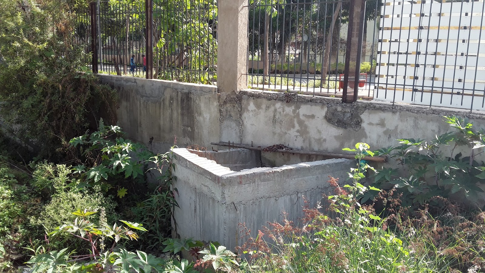
4
|
Naala 1 Overflow
|
Naala 1 will also
overflow into the lake through a structure under the walking path to the
north of the park.
|
  |
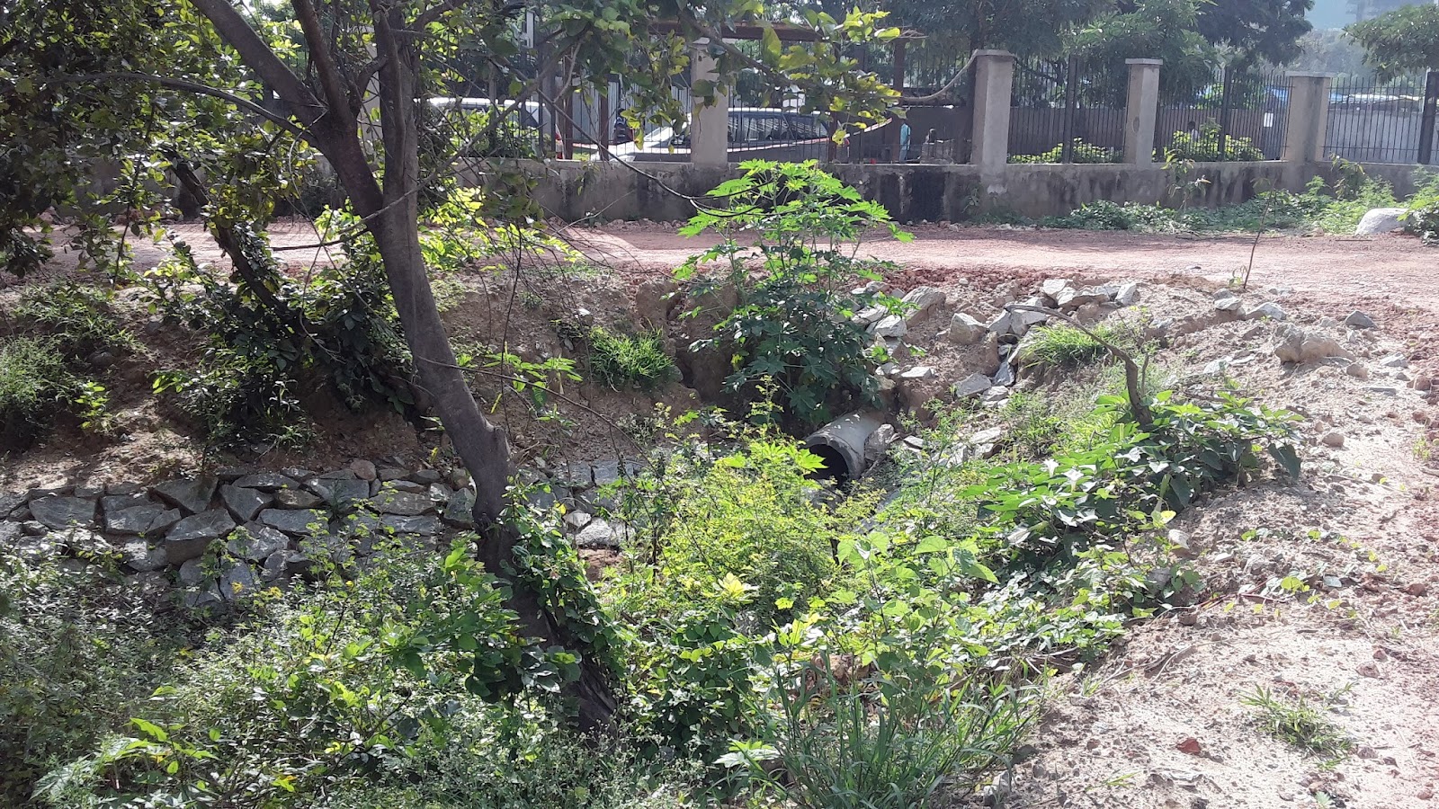
6
|
Naala 2 Overflow
|
Naala 2, carrying
water from the area west of the lake, will pass through an overflow structure
during flood events and enter into the lake
|
   |
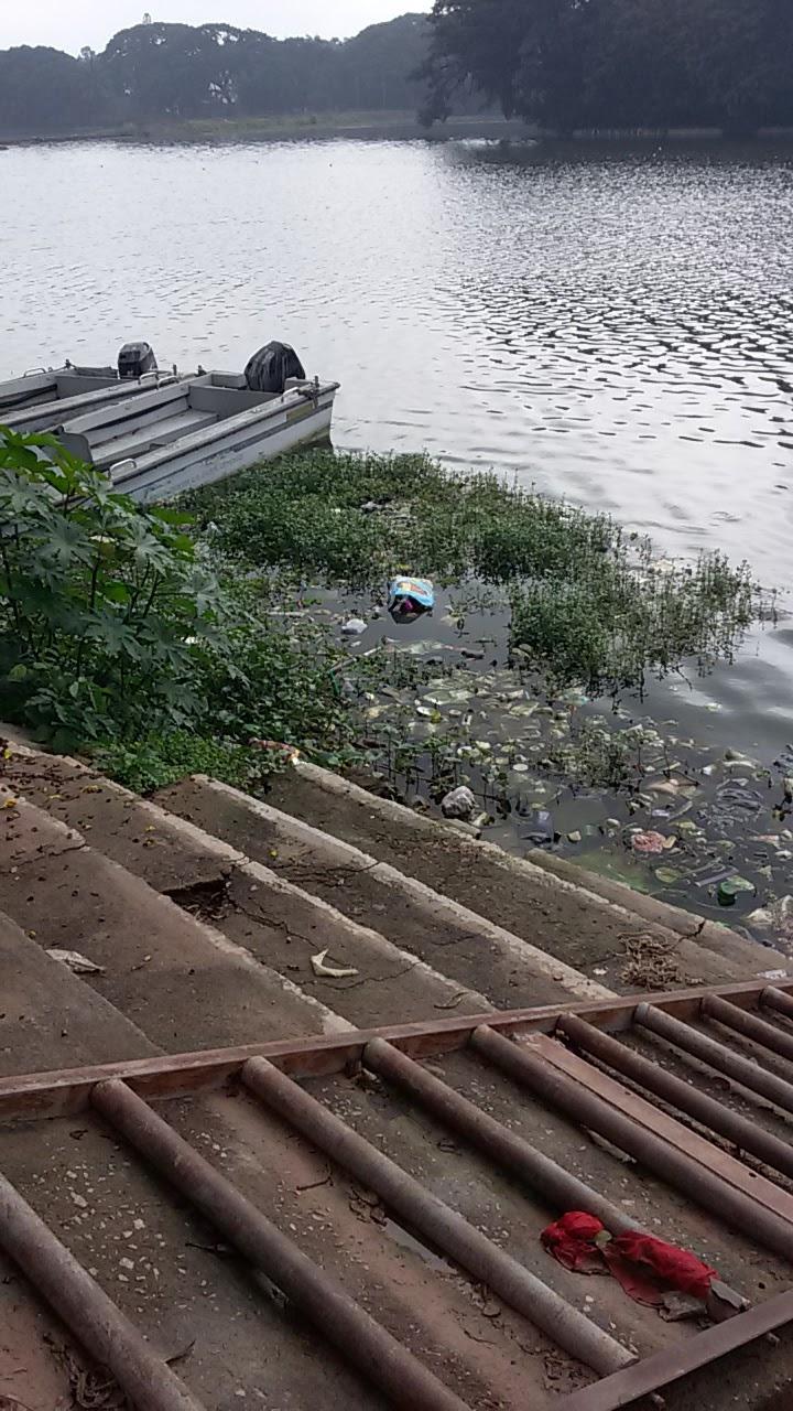
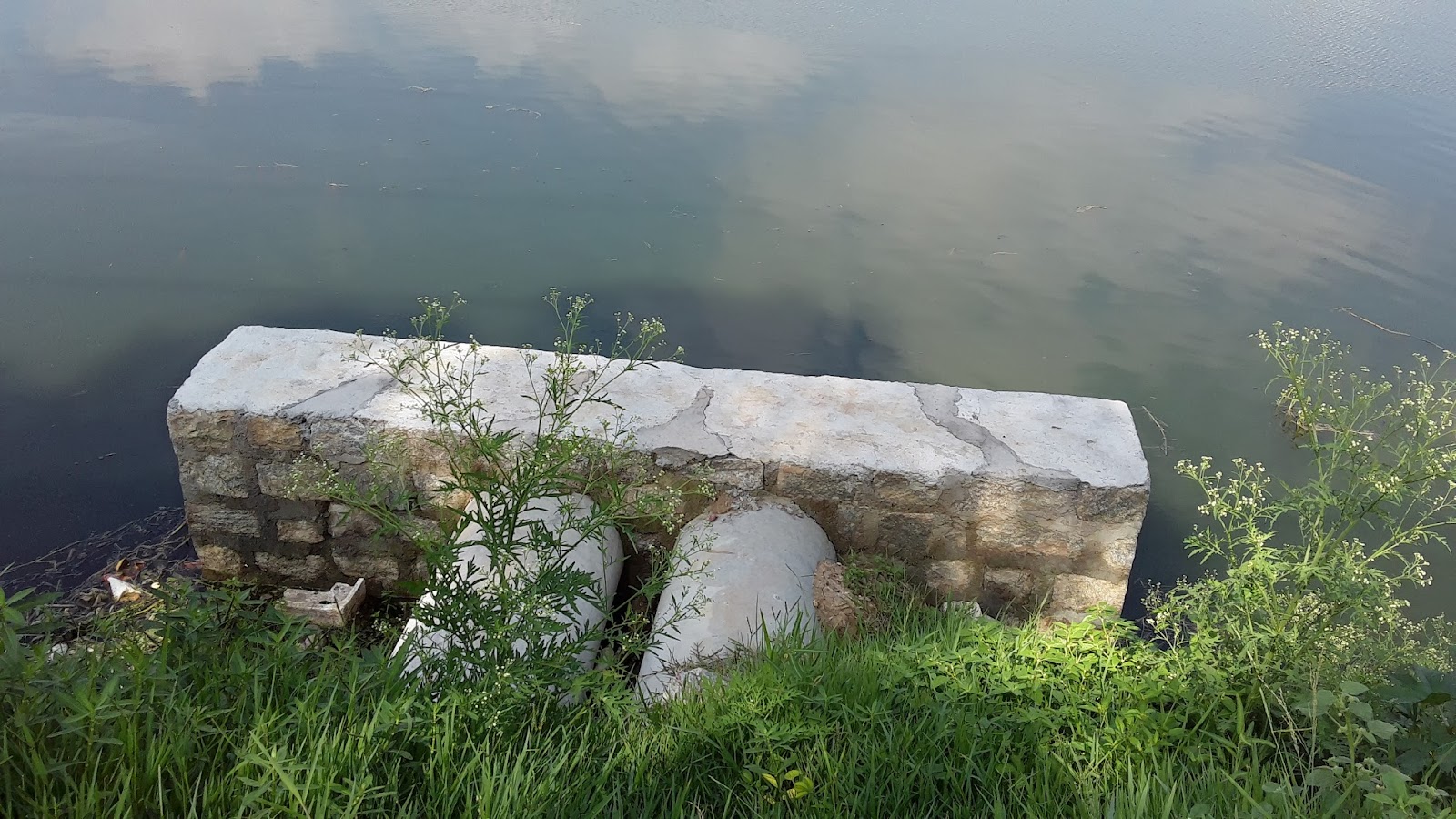
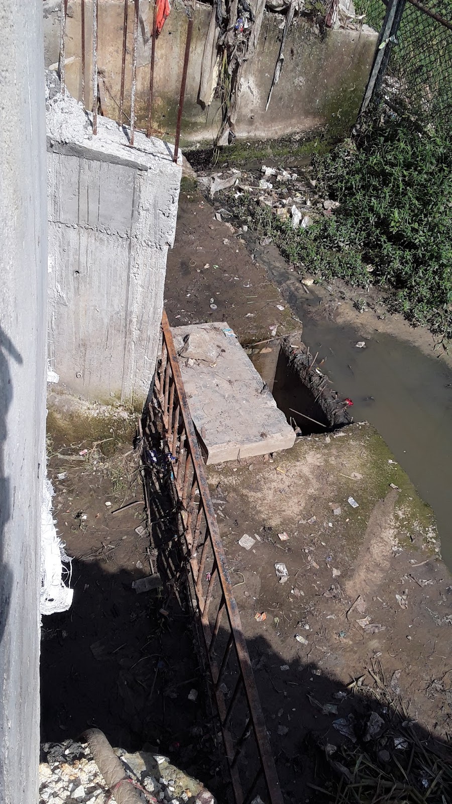
The two outlets from the lake are both
overflow systems under bridges in the south of the lake. At both outlets,
particularly outlet 1, there was noticeable green hue to the water exiting the
lake (see photos below). We also observed what appeared to be raw sewage mixing
with the water just beyond lake outlet 1.
|
 |
 |
|
 |
 |  |
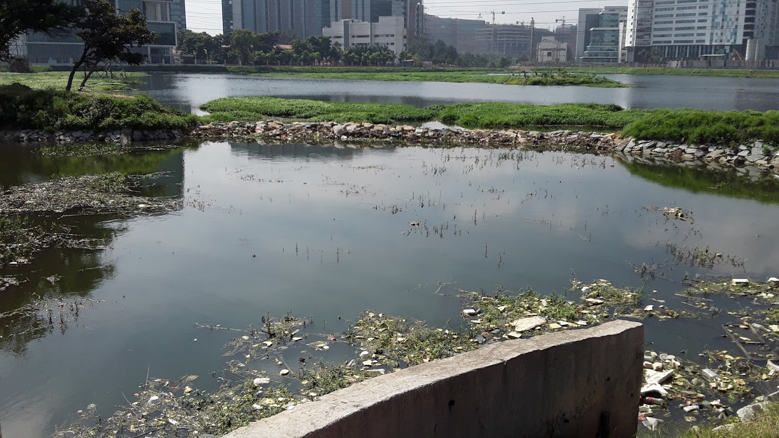
There was minimal buildup of algae on the
water surface, though there was a noticeable green hue to the water near the
outlets. In the center of the lake, the depth may reach about 10-11 feet.
Along the walking path, there is a park on the
western side of the lake. Within the park are various amenities such as
benches, toilets, a gazebo, a kalyani, and a yoga platform (see Map 1 for
locations).
The STP
At present, no STP exists at Rachenahalli
Lake.
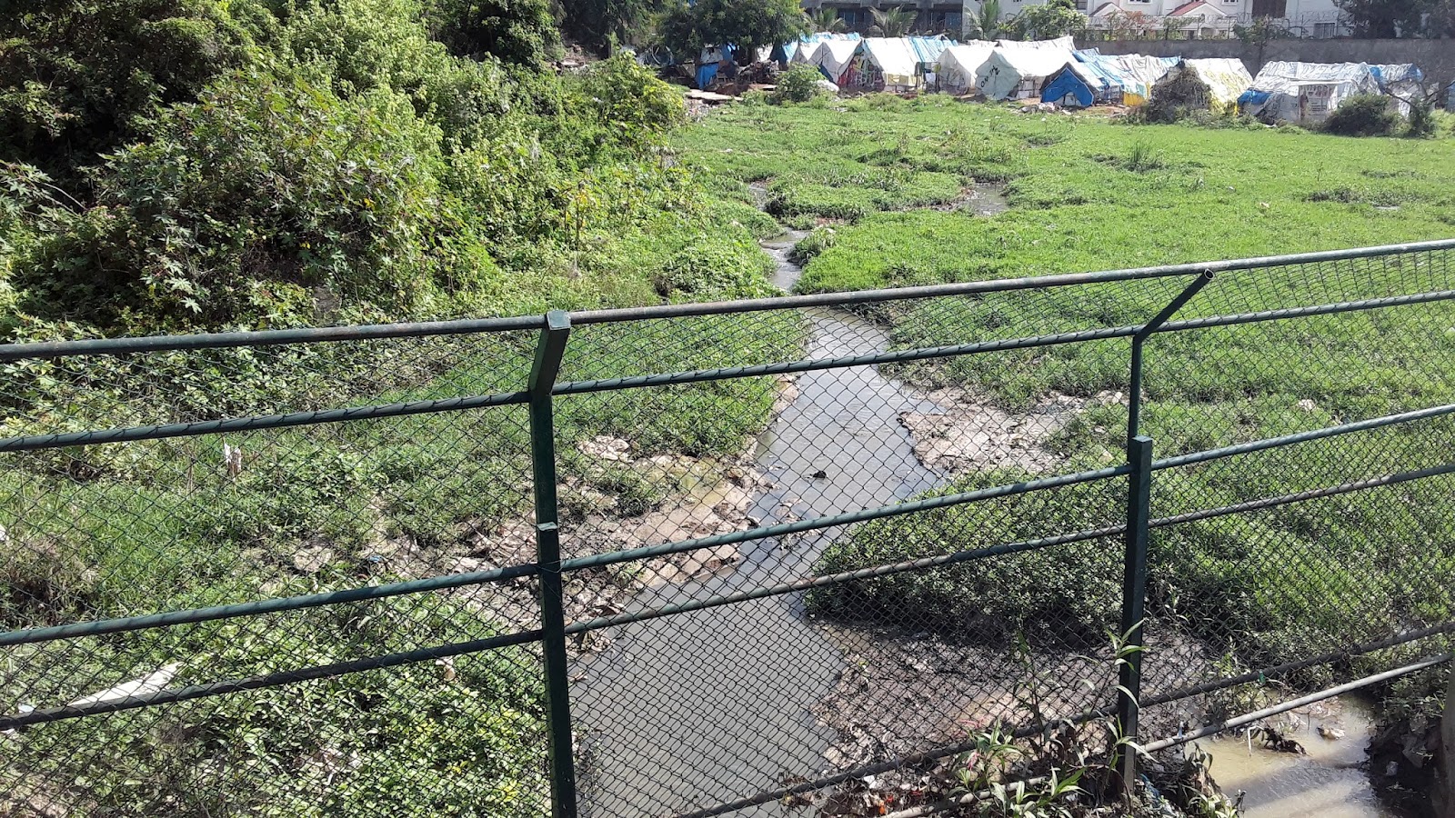
The Wetland
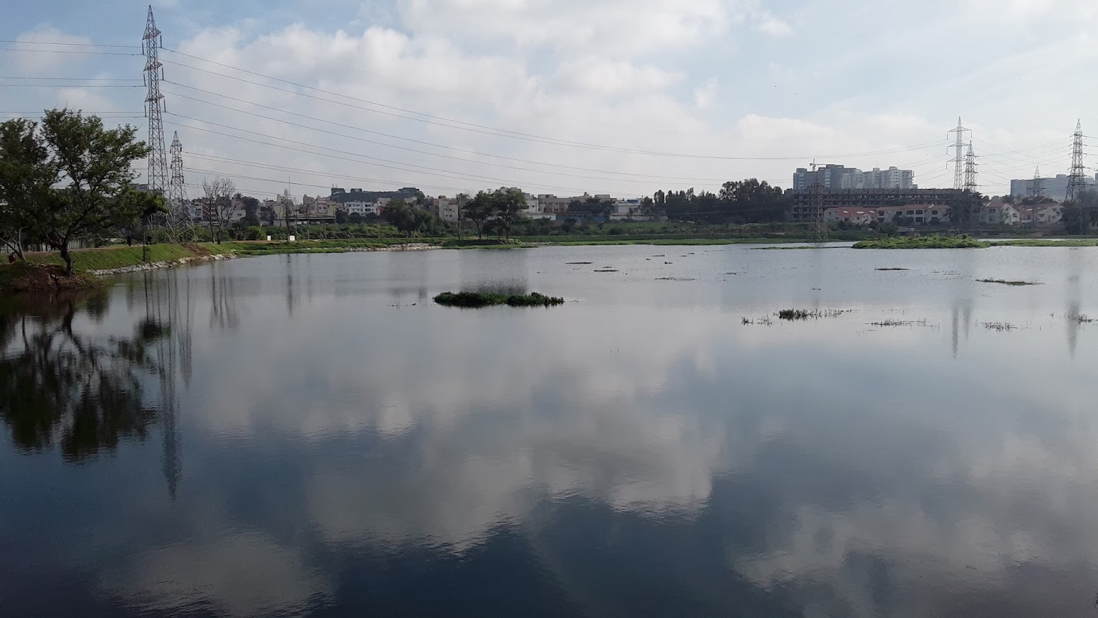
There is a 2.5 acre natural wetland at Rachenahalli
in the north corner of the lake which
accounts for about 2.4% of the total lake area. The wetland is separated
from the main lake by a bund, through which is a bridge under which water will
flow from the wetland into the lake.
The wetland also has a large number of wetland
plants throughout.

Wetland pictured above
References